MIGARS 2024
By Hannah Walker
/ April 10, 2024
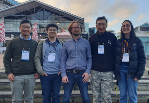
The GRI was well represented at the MIGARS conference (International Conference on Machine Intelligence for Geoanalytics and Remote Sensing )...
Read More

Geospatial Research Institute | Toi Hangarau
Social indicators of health
Healthly communities
Social vulnerability
Urban planning
Bicultural governance
Infrastructure
Digital Twins
Natural hazards
Novel remote sensing


The Geospatial Research Institute Toi Hangarau is a world class centre of interdisciplinary geospatial expertise in New Zealand.
With our interdisciplinary partnership-based geospatial research, we aim to assist Aotearoa New Zealand to:
Leverage latent value from investments in public and other datasets – Deliver expected productivity gains from smarter use of geospatial data, technologies and analytics
Grow geospatial capacity, by providing access to a range of types and levels of geospatial capability
Realise the opportunities for geospatial innovation and R&D offered by the scale and nature of the New Zealand jurisdiction
Provide ongoing global leadership in the rapidly growing field of indigenous GIS.
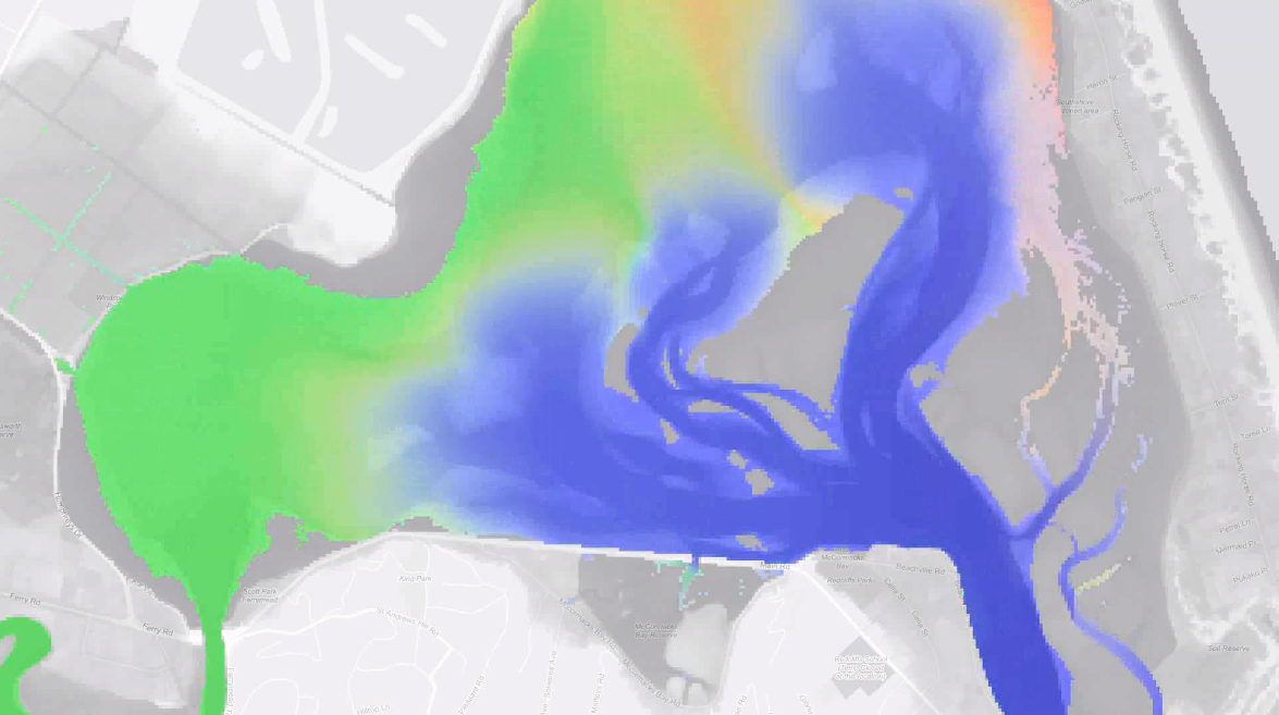
Geospatial analysis uses geographic data to make complex spatial relationships understandable, either by maps, graphs or statistics.
Developing automated methodologies to assimilate geospatial data and provide the analytics needed by stakeholders for improved decision-making.
Geographic Information Science uses software such as Geographic Information Systems (GIS) to collect, manage, analyse and display geographic information.
We assimilate large amounts of geospatial data to conduct predictive analytics using machine learning in a range of domains.
Remote sensing provides a rich source of information for our environmental and urban analytics.
Building new tools to help view and understand the complexities of multiple sets of Geographic Information.